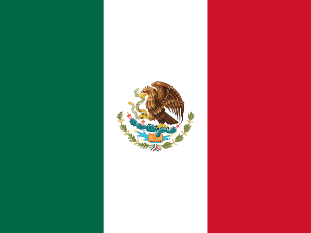
 The True Size of Mexico
Compare Mexico with other countries and regions on an interactive map to see their actual relative sizes.
Search countries
Type a country name and press Enter to add it to the map.
How big is Mexico?
Mexico covers about 1,964,375 km² (758,449 sq mi). On a Mercator map its apparent size depends entirely on latitude — drag the outline above onto another part of the world to see how it really compares.
Mexico on a Mercator map
The centre of this country lies at 24° N, where the Mercator projection stretches area by about 1.2×. Its outline takes up as much room on the map as 2,357,774 km² would at the equator.
Its real area is 1,964,375 km². The country closest to that size: Saudi Arabia.
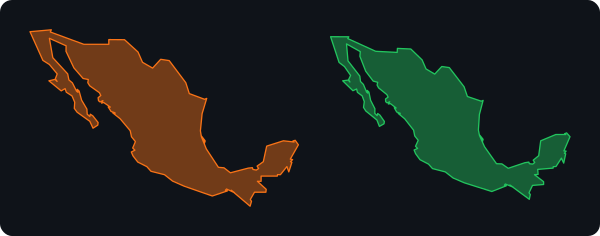
Mexico compared with other countries
Total areas including inland water; ratios are rounded.
| Country | Area (km²) | Compared with Mexico |
|---|---|---|
 Russia | 17,098,242 | 8.7× larger |
 Canada | 9,984,670 | 5.1× larger |
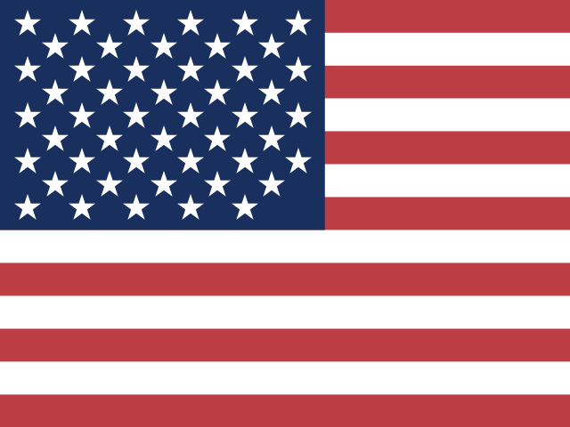 United States | 9,833,517 | 5× larger |
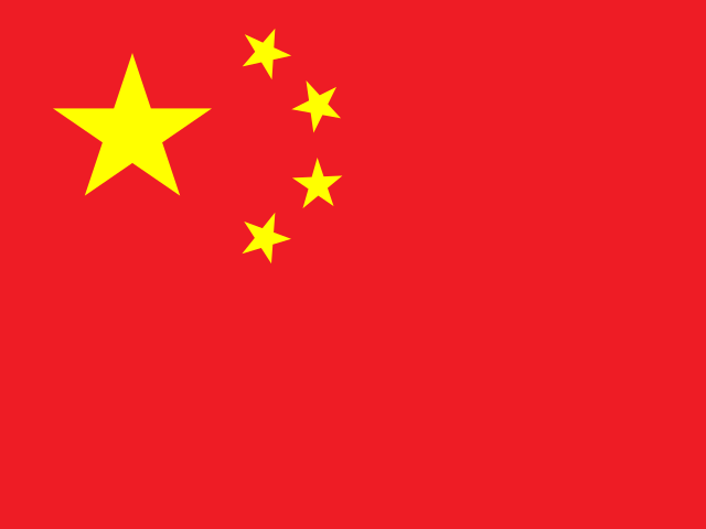 China | 9,596,960 | 4.9× larger |
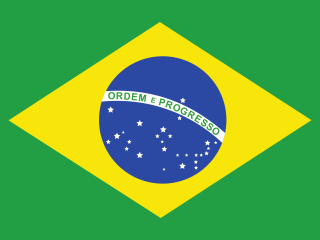 Brazil | 8,515,770 | 4.3× larger |
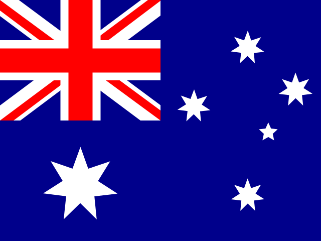 Australia | 7,741,220 | 3.9× larger |
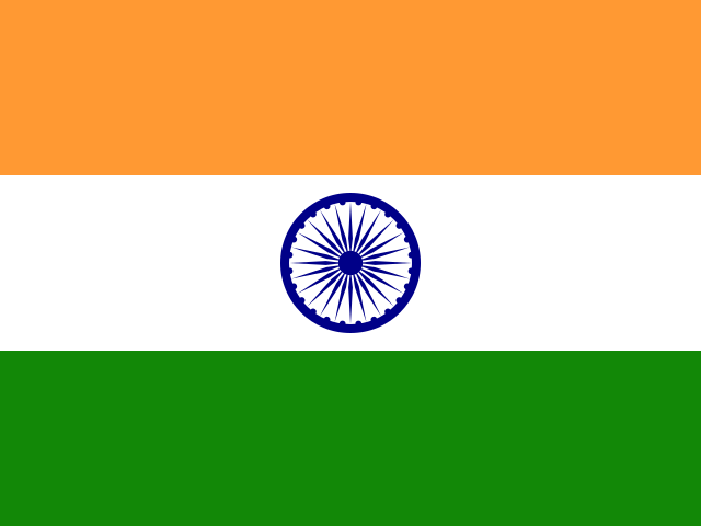 India | 3,287,263 | 1.7× larger |
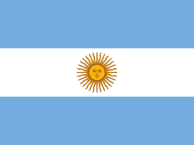 Argentina | 2,780,400 | 1.4× larger |
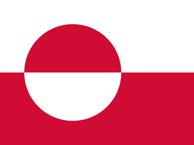 Greenland | 2,166,086 | 1.1× larger |
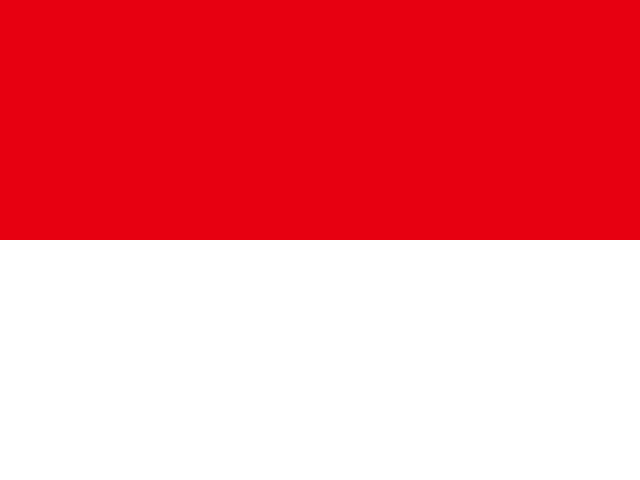 Indonesia | 1,904,569 | about the same |
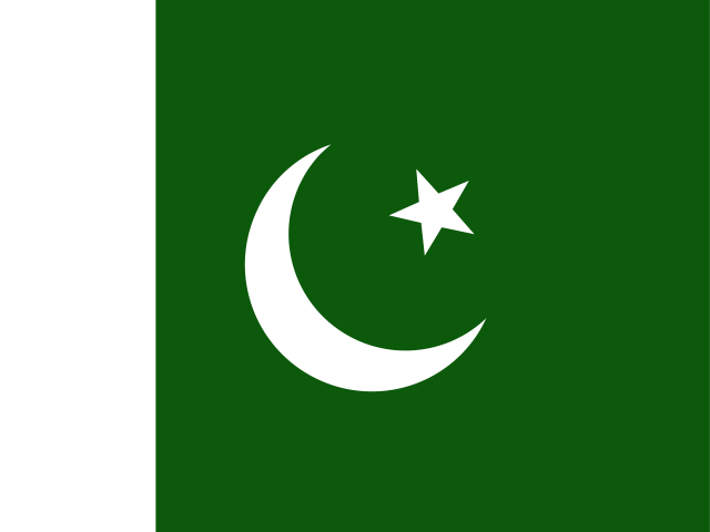 Pakistan | 796,095 | 2.5× smaller |
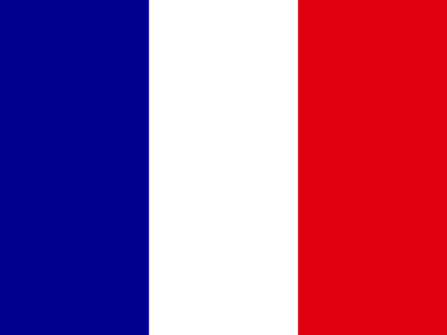 France | 643,801 | 3.1× smaller |
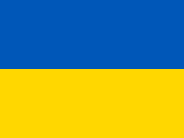 Ukraine | 603,550 | 3.3× smaller |
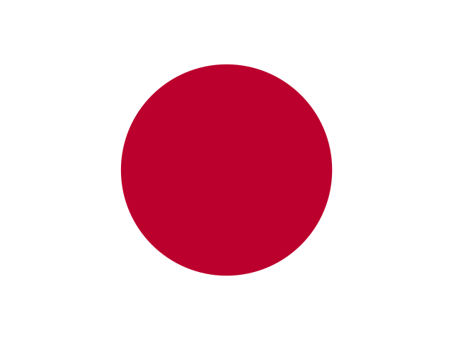 Japan | 377,915 | 5.2× smaller |
 Poland | 312,685 | 6.3× smaller |
 New Zealand | 268,838 | 7.3× smaller |
 United Kingdom | 243,610 | 8.1× smaller |
 Netherlands | 41,543 | 47× smaller |
Countries closest in size to Mexico
Measured on the globe from the same outlines the map draws, so the figures are approximate. Drag any of them next to Mexico to see the difference for yourself.
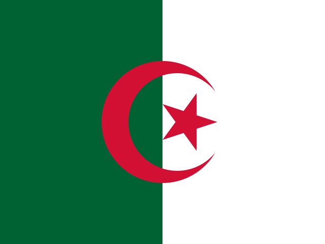
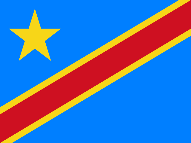
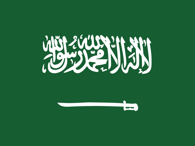
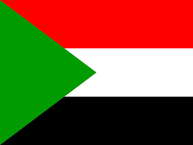
How big Mexico looks at other latitudes
Drag the outline so its centre sits on each of these latitudes and the map draws it this many times larger than its real area. Mercator stretches area roughly by the square of the scale, so the growth is steep.
| Where it actually sits (24° N) | 1.2× its real size |
| At the equator (Indonesia, Kenya, Ecuador) | its real size |
| At 30° (Egypt, northern Mexico, central Argentina) | 1.3× its real size |
| At 45° (northern Italy, Minnesota, New Zealand) | 2× its real size |
| At 60° (Oslo, Helsinki, southern Alaska) | 4.1× its real size |
| At 72° (central Greenland) | 11.1× its real size |
Questions about the size of Mexico
How big is Mexico?+
Mexico has a total area of about 1,964,375 km² (758,449 sq mi), including inland water. The country closest to it in size is Saudi Arabia.
Is Mexico bigger than Greenland?+
Not quite. Greenland covers about 2,154,760 km², roughly 9.8% more than Mexico. Put both on the map and the difference stays the same wherever you drag them, because every outline is drawn at its true size.
Why does Mexico look bigger on a map than it really is?+
Because the Mercator projection stretches area the further you get from the equator. The centre of Mexico is at 24° N, where the map draws it about 1.2× too large — as much room as 2,357,774 km² would take at the equator. Drag the outline toward the equator and it shrinks to its honest size.