the True Size of Countries
Compare countries and regions on an interactive map to see their actual relative sizes.
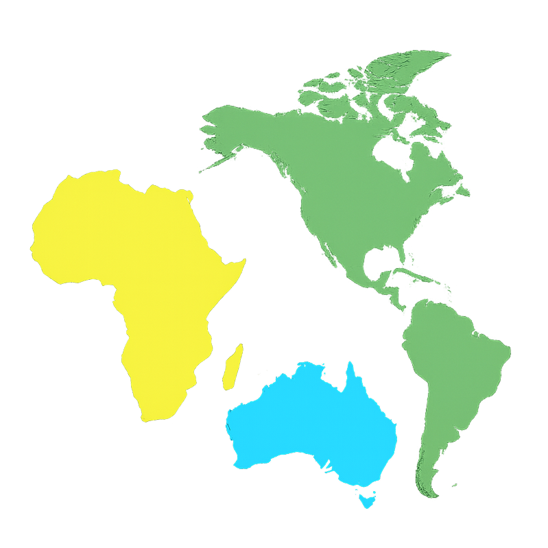
What is True Size Of
True Size Of is an interactive tool that reveals the actual relative sizes of countries and regions on a map, challenging common geographic misconceptions.
- Interactive Map ComparisonDrag and drop countries to compare their true sizes on an equal-area projection map.
- Educational InsightsLearn fascinating facts about country sizes that challenge traditional map projections.
- Real-time CalculationsGet accurate area comparisons and population density insights instantly.
How to Use True Size Of
Explore the true sizes of countries in three simple steps:
Key Features of True Size Of
Everything you need to explore and understand the true sizes of countries and regions.
Interactive Map Interface
Smooth, responsive map interface that allows you to drag and drop countries for easy comparison.
Comprehensive Country Database
Access to all recognized countries, territories, and regions with accurate geographic data.
Real-time Area Calculations
Instant calculations showing true land area, population density, and relative size comparisons.
Educational Content
Learn about map projections, geographic misconceptions, and fascinating world geography facts.
Mobile Responsive
Works perfectly on desktop, tablet, and mobile devices for learning anywhere, anytime.
No Registration Required
Start exploring immediately - no sign-up, no downloads, just pure geographic discovery.
People Love True Size Of
for its educational value and eye-opening insights.
Used by
50K+
Students & Teachers
Countries
195+
Available to Compare
Map Projections
10+
Explained
What Users Say About True Size Of
Hear from educators, students, and geography enthusiasts who use True Size Of.
Sarah Johnson
Geography Teacher
True Size Of has revolutionized how I teach map projections. My students finally understand why Greenland isn't actually bigger than Africa!
Michael Chen
Student
This tool completely changed my perspective on world geography. I had no idea how distorted traditional maps are!
Dr. Emily Rodriguez
Geography Professor
As a geography professor, I use True Size Of in my lectures. It's the perfect tool to demonstrate the challenges of cartographic representation.
Alex Thompson
Travel Blogger
I use True Size Of to plan my travels. Understanding true country sizes helps me better appreciate the scale of different destinations.
Lisa Wang
Homeschool Parent
This is an amazing educational resource for homeschooling. My kids love dragging countries around and discovering their true sizes.
David Kim
Geography Enthusiast
True Size Of is my go-to tool for settling geographic debates with friends. The interactive interface makes it fun and educational.
Frequently Asked Questions About True Size Of
Have another question? Contact us or check our documentation.
What is True Size Of and how does it work?
True Size Of is an interactive web tool that allows you to compare the actual sizes of countries and regions on an equal-area map projection. You can drag countries around to see their true relative sizes, challenging common misconceptions from traditional map projections.
Why do traditional maps show countries at the wrong size?
Traditional maps use projections like Mercator that distort sizes, especially near the poles. Greenland appears much larger than it actually is, while countries near the equator appear smaller. True Size Of uses equal-area projections to show accurate relative sizes.
Is True Size Of free to use?
Yes! True Size Of is completely free to use. You don't need to register or download anything - just visit the website and start exploring immediately.
Can I use True Size Of for educational purposes?
Absolutely! True Size Of is perfect for classrooms, homeschooling, and educational presentations. Many teachers use it to demonstrate map projection concepts and geographic misconceptions.
What countries and regions are available?
True Size Of includes all recognized countries, territories, and regions from around the world. Our database is comprehensive and regularly updated with the latest geographic data.
Can I share my comparisons with others?
Yes! You can share interesting comparisons by taking screenshots or sharing the website link. We're working on adding direct sharing features for social media and educational platforms.